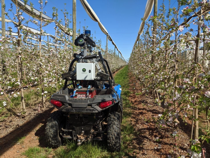
Cartographer
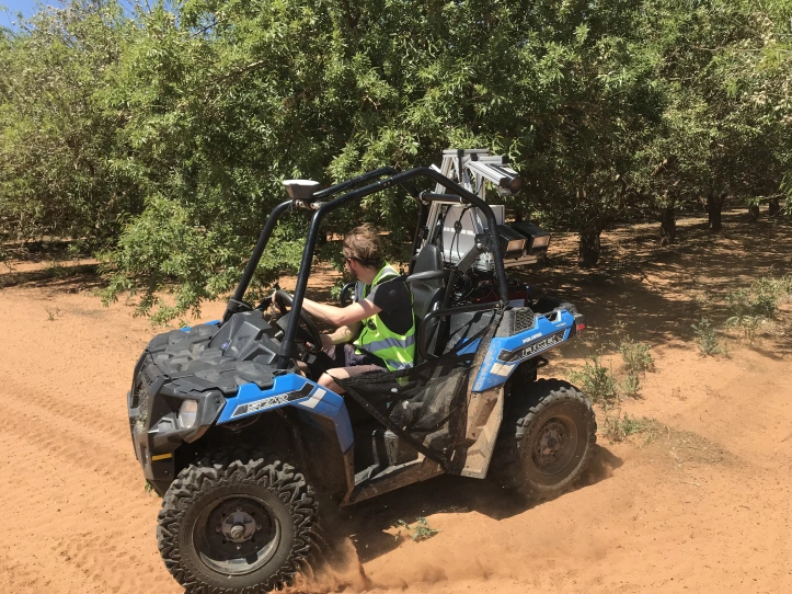

The Green Atlas Cartographer is an innovative combination of hardware and software that allows flower, fruit and nut counts to be quickly and accurately mapped over entire orchards. With high resolution AI assisted mapping, the Cartographer produces a density map showing the distribution of new season nuts, mummified nuts, flowers or fruit in an orchard, allowing high-level management decisions to be made. Using on-board LiDAR, the system also produces tree-level geometric data such as tree heights, canopy volume, and canopy density. These features are useful for a variety of operational purposes including spray volume calculations, and yield predictions.
