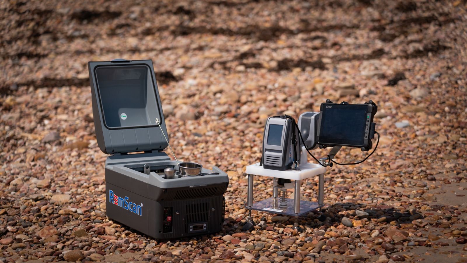
RemScan Portable Lab
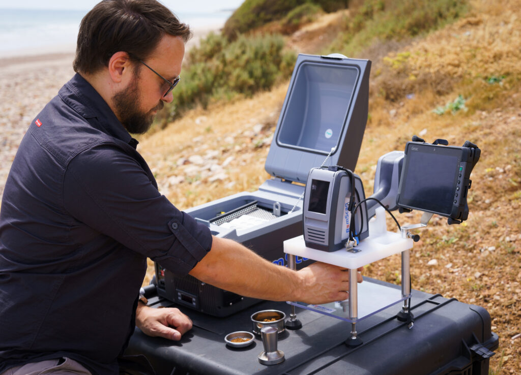
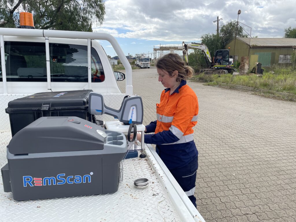
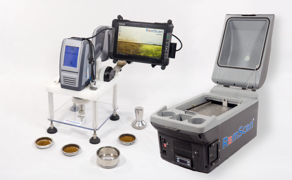
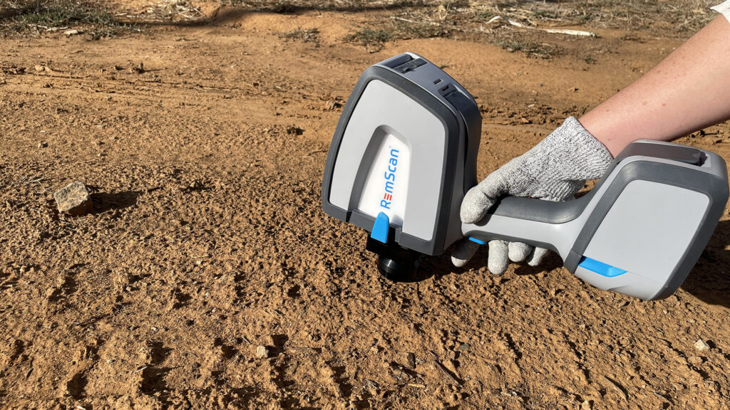
GXLab delivers a complete, integrated hardware solution for specialised on-site analysis of total petroleum hydrocarbons (TPH) in soil. Central to this test kit is the RemScan, a pioneering device optimised for swift and accurate soil measurement.
Complementing this is the Portable Drying Unit, an essential tool for rapid and efficient soil sample preparation, and the Bench Stand, ensuring stable and consistent measurements in varied environments. Together, these components form a harmonised system, ensuring that our customers receive the most accurate and reliable results.
