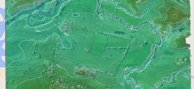
Flood Plane Modeling
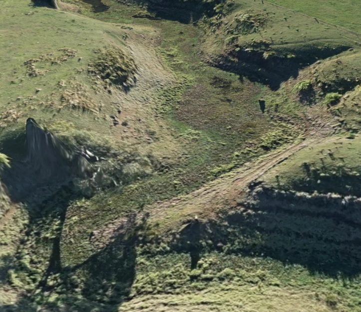
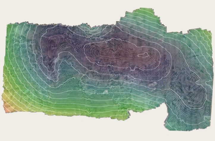
The production of mapping to create a 3D visualisation to predict flood prone areas before the wet season arrives ensuring the safety of all livestock.
