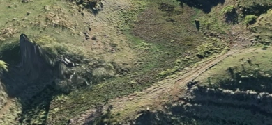
Large scale mapping
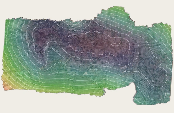
Ninox Robotics uses highly capable unmanned aerial systems to provide large area coverage and produce high-resolution maps of crops, paddocks or other farmland. We also have the ability to provide temporal analysis maps to visualise changes over time.
