StevTech Pty Ltd
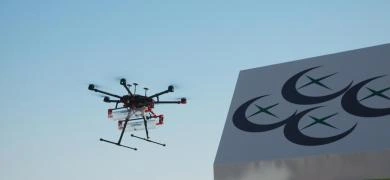
StevTech is more than just an agricultural drone data company. StevTech harnesses drone, satellite, soil, yield and any other relevant agricultural data set to facilitate easy, quick and accurate decision making.
StevTech makes working with agricultural data sets easy for agricultural consultants and growers in viticulture, horticulture and irrigated & non-irrigated broad acre crops. Use StevTech to help increase yield and decrease inputs.


