Queensland Drones
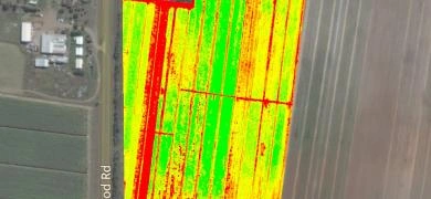
Queensland Drones specialises in spatial mapping services for agriculture and industry. Our services for the agribusiness sector include ECa soil mapping, drainage and water flow mapping, infrastructure mapping, crop health mapping, orchard and plantation mapping, tree and plant counting, elevation and contour mapping, vineyard mapping and more. We have worked extensively with the Queensland Department of Agriculture, Growcom and other agricultural groups to develop geo-spatial products of high value to growers and agronomists.

